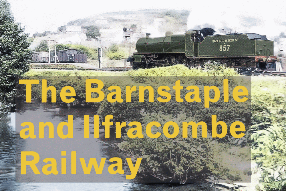
This is the second part of the online guide to the Ilfracombe railway and features the stretch from Braunton to Willingcott. That is near near the summit of the line just south of Mortehoe. Although around half of the route through Barnstaple, Braunton and Ilfracombe now constitutes the Tarka Trail, much of the following section isn’t part of the trail because many sections are in private ownership. There are moves to reopen further sections of the former railway. The lack of public access points however makes this a difficult task. This section of former railway was once one of the steepest main lines in England – and its quite spectacular along the walkable parts of the route.
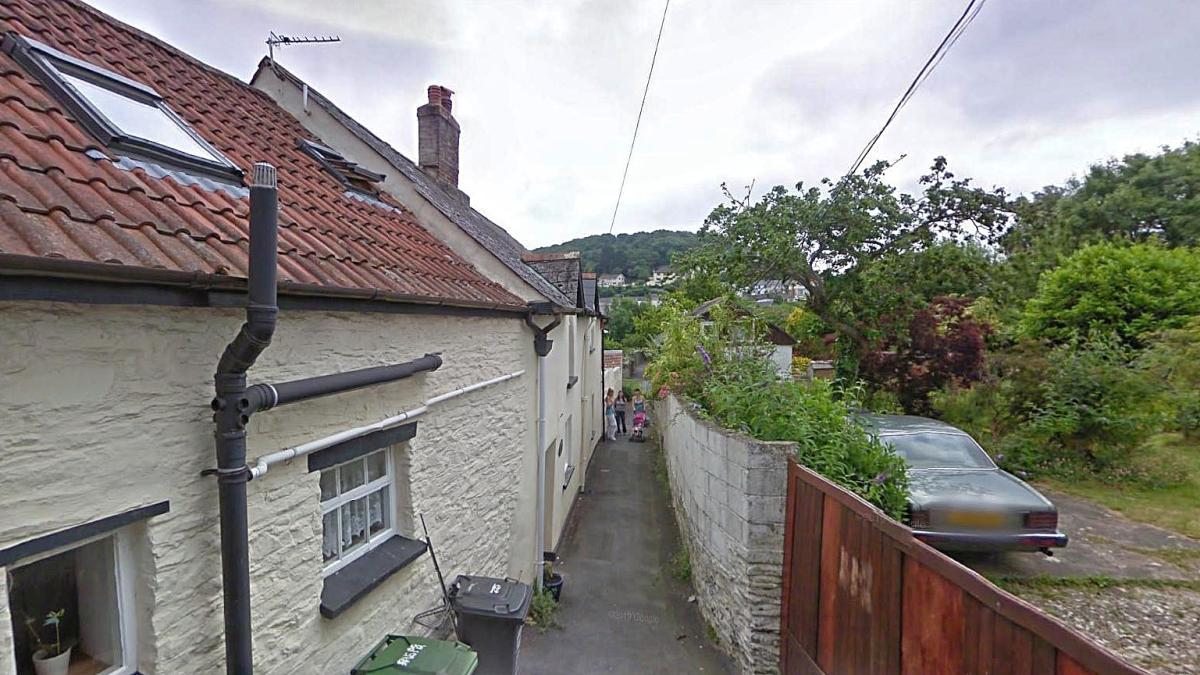
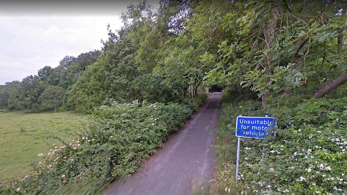
Some distance north of Braunton station is this narrow lane at Star Cottages. This led to an accommodation crossing over the railway which once ran in the background. Source: Google Streets
With some further investigation it seems from aerial evidence there were five of these totally ungated crossings in the section between Caen Street and Georgeham gates! Britain’s railways were certainly very trusting of people in those days!
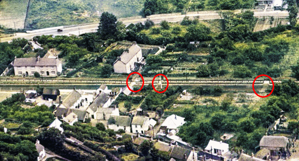
Colourised image showing three of the five foot crossings north of Braunton station. That leading off Star Cottages is the one left of centre. Sourced from Britain from Above.
From Braunton the line climbed very steeply. The distance to Mortehoe was just six miles however the difference in elevation between the two stations happens to be six hundred feet! Thus the severe gradient equated practically a hundred feet for every mile. However the gradient got worse as the line continued north thus much of the line’s severe gradients in fact occur between Stoney Bridge and Mortehoe thus it was one of the most severely graded lines in the country. In comparison the Lickey Incline in Worcestershire (a gain of 286 feet in just two miles) is the most severe main line of all however if the Ilfracombe line had still been open it would have been just behind the Lickey in terms of records.
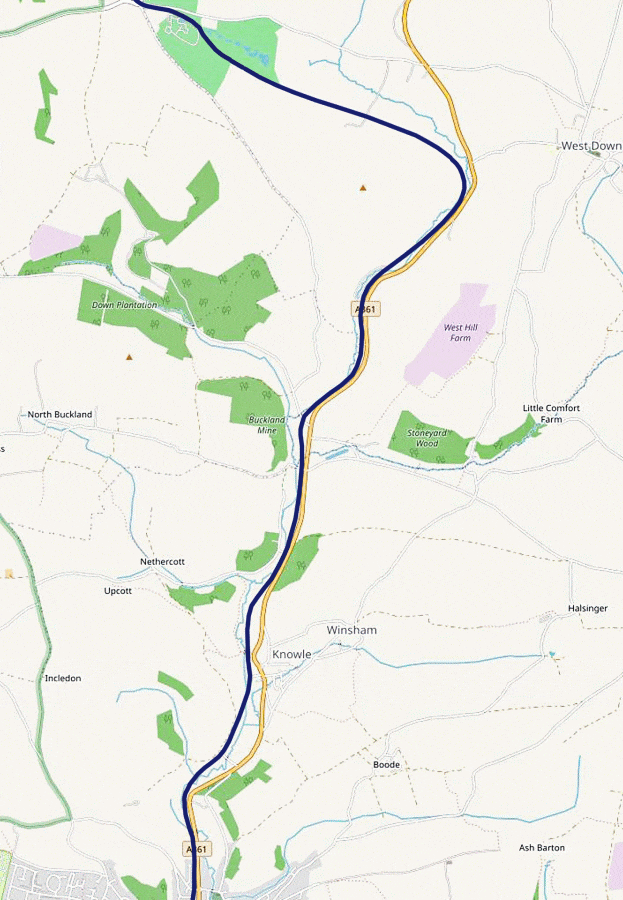
Georgeham Gates is the fourth of three important road crossings within Braunton. The first was Velator, the second and third either side of Braunton station itself, and then Georgeham. The name itself is something of a misnomer because the village of Georgeham is quite a distance away, two and half miles in fact, however the road itself is seen as the main thoroughfare from Braunton to Georgeham and the adjacent junction with the A361 is known as Georgeham cross, thus explains why the crossing has that name.
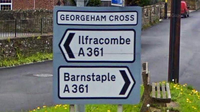
Georgeham Cross. Source: Google Streets
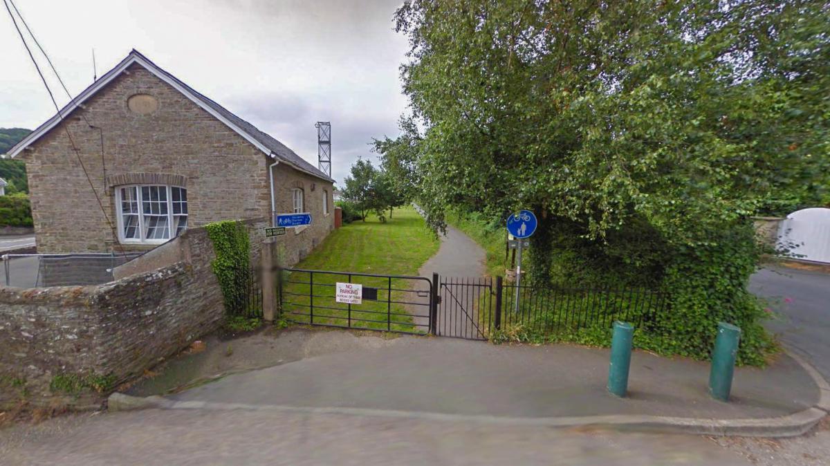
From St. Brannock’s where Georgeham Gates is sited the railway alignment northward isn’t accessible in that many places, which is why I have done the next map with a very dark blue line – and somewhat a depressing colour! However parts of it have been approved for a trail continuing from those existing sections to the north and south it. A major problem is sections of the route are built over or obliterated and some bridges too have been demolished, thus the new trail would require a number of diversions or alternative routes. Of course that invokes concerns and the plans therefore require further thought in order to satisfy all parties, then there’s the COVID-19 crisis which could of course be delaying even more any possible progress on this.
This denotes the section of line from Georgeham through the steep sided valleys upwards towards Willingcott, near Mortehoe. Parts of the line have now been built upon or obliterated completely. There are still a couple of crossings extant at Stoney Bridge and Heddon Mill as we will see later.
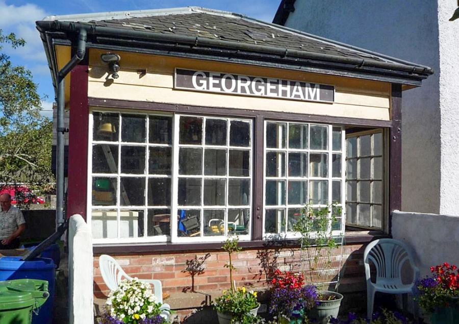
End of the Tarka trail at Georgeham. Source: Twitter
St. Brannock’s is a part of North Braunton and a parish in its own right. Even the fire station’s address next door to Georgeham gates is under St. Brannock’s! The name comes from Saint Brannock who was associated with Braunton. Many of the roads in the locality have St Brannock’s as part of their name and there is a holy well ascribed to the saint himself. This is sited just west of the former railway alignment by the chapel on St. Brannock’s Hill.
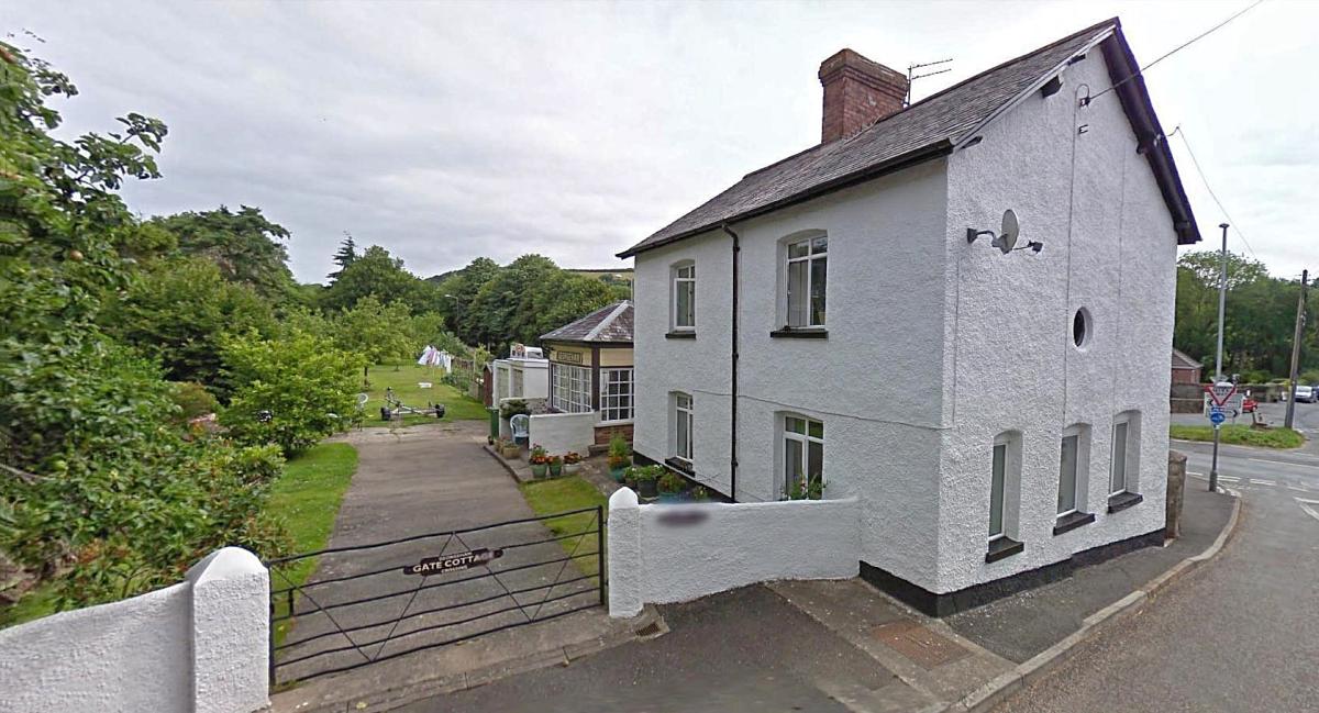
Georgeham Gates box is rather unusual being sited on the other side of the adjacent house compared to all the other boxes on the Ilfracombe line which are immediately adjacent to the crossing itself thus the box isn’t exactly aligned with the crossing gates and the crossing keeper hasn’t an exact view of that from the box itself. I couldn’t tell you why this particular arrangement was used. Nevertheless its one reason the box itself has been kept in a good condition since the closure of the railway.
View of Georgeham gates from the main A361 road. Source: Google Streets
There isn’t any sort of fully enabled walkable section along the former railway for any distance between Braunton and Willingcott. There’s a short section to the south of Castle Lane which features a railway bridge over the River Caen as well as a bridge at Castle Lane itself.
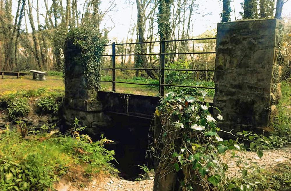
Bridge over the river and a small picnic area on the railway’s course some distance south of Castle Lane. Source: You Tube
As the above link suggests there’s a You Tube video covering the line from north of Braunton to near Willingcott – its not always of great quality but nevertheless of interest. You Tube video on the derelict line
Castle Lane aproaching Corffe Green bridge. Source: Google Streets
Although I cant find any references to Corffe Green bridge, that name is in fact shown for the nearby river crossing on old Ordnance Survey maps such as this one from NLS Scotland so assume the railway bridge shared the same name.
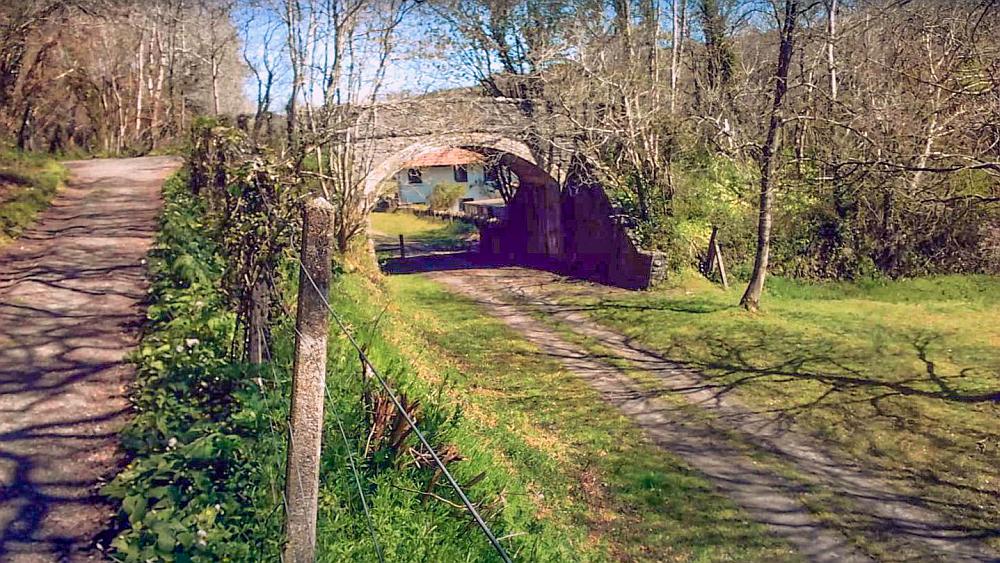
Corffe Green bridge. Source: You Tube

The course of the old railway at Corffe Green. Photo from Roger Cornfoot. Source: Geograph
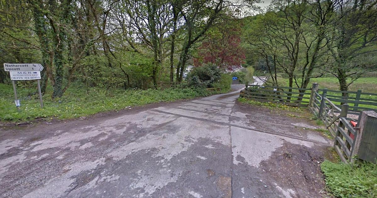
The line passed through Knowle. What remains of the railway is now being built upon although there are footpaths either side that utilise the old line’s course.
Georgeham Gates were approximately sixty feet above sea level. The line had almost another five hundred and fifty feet to climb from here to Mortehoe! From Georgeham to Mortehoe was just over five miles. The line ascended quite steeply en route but the worst of it was in the last mile and half of that section where an elevation of two hundred feet had to be gained.
Stoney Bridge crossing with rails still set in the road itself. Source: Google Streets.