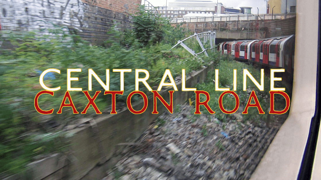
A minor update of the article posted two years ago featuring the Central Line around Wood Lane/White City showing how the area’s changed. Previous overground sections of the Central Line are now underground. The header image shows the Central Line tracks as they approach Ariel Way. This section was the original route of the Central London Railway (the Twopenny tube) giving access to the line’s depot and sidings at Wood Lane.
The section west of Shepherd’s Bush features the tube system’s sharpest curves of all beneath Caxton Road, hence the title of the post.
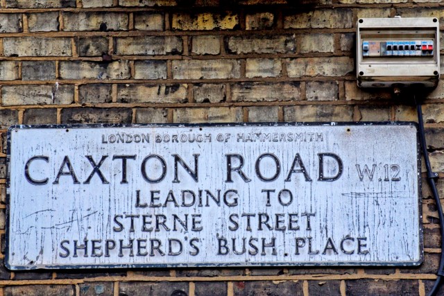
The Caxton Road street sign in Shepherd’s Bush W12.
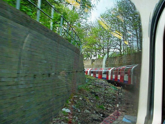
The first tube line across the centre of London was opened in 1901 and known as the two penny tube. It ran between Shepherd’s Bush and Bank and was entirely underground. It had a depot above ground at White City however to get there trains had to negotiate a 1 in 44 incline and a sharp turn north before reaching the open. This section soon earned the name of Caxton Curve – after the road above – and this is the tightest bend on the whole of London’s tube system.
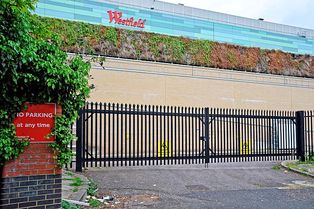
The top end of Caxton Road once led to the Central Line’s depot and complicated track layout. The line emerged from the tunnel just a short distance to the right and trains briefly headed in a north east direction – straight towards Epping! 🙂
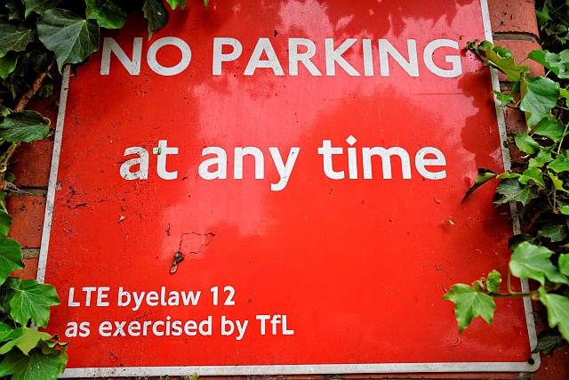
TfL sign on wall that once formed part of the White City depot entrance gates.
The Central Line ended up having lots of bendy bits beyond Shepherd’s Bush due to quirks of construction and trying to meet up with all the lines running in various directions after Caxton Road. Essentially trains turn through a total of 180 degrees in order to fit in with the track layout further on at Wood Lane.
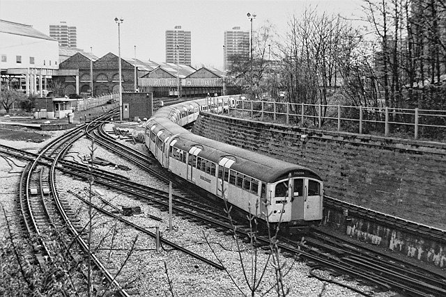
The following photographs were taken by Ariel Way by the old powerhouses (known as the Dimco buildings) which once supplied electricity for the Central London Railway. This is where the loop leading to Wood Lane station began. The direct tracks to the depot went via this loop.
Coming down the other way were the outward tracks from the depot and passenger trains for Ealing/West Ruislip had to negotiate a series of quite complicated junctions.
Emerging from the tunnel – this location is now right underneath the Westfield’s Southern Terrace.
In the fifties and early sixties I used the Central Line to get to school and was fascinated each time our train burst out of the tunnel beyond Caxton Road then negotiate the many curves and points through this strange landscape of rail depots, derelict stations, and elevated walkways which were remnants of the old White City exhibition complex.
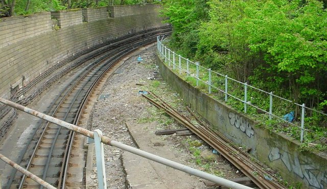
The line as it traversed the old White City station junctions just before Ariel Way bridge.
There was once two separate lines diverging from this point. The one at extreme right (going up the ramp) led to the old Wood Lane station and this line formed a return loop back to Shepherd’s Bush. The tracks in the centre split off to the right also and these led through the old subterranean Wood Lane station. This latter one was the original route built for the extension to Ealing Broadway in the 1920s. The tracks on the left (i.e. those still in use) were built to serve the new White City station.
Despite Wood Lane acquiring new underground platforms, the old loop line platform was kept as a turn-back facility for trains terminating here. Through trains for Ealing used the newer platforms. It was an awkward arrangement which eventually prompted the building of nearby White City station. This needed a new and more direct tunnel (eg the tracks on the left.)
The layout is quite confusing which is why I have drawn the rough example below. (This doesn’t include the tracks to/from the now demolished train depot.) As can be seen from this diagram the tracks diverge where the former Ariel Way bridge was sited.
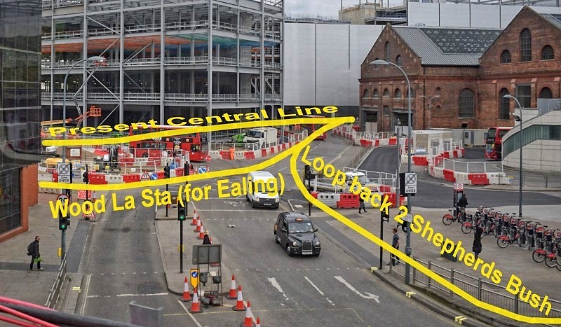
A quite rough superimposition over the present scene at Wood Lane (Ariel Way) showing the approximate layout of the tracks. The new below ground White City train depot extends across the centre of the picture.
These various works, confusing as they may be, forced the Central London Railway to adopt the rare British practice of right hand running. Its not the only tube that does it however both the Northern and Victoria Lines have sections of right hand running too.
Over the years this landscape leftover from the old White City has gradually disappeared. Parts of the overhead walkways remained until the 1980s, whilst Wood Lane station itself very derelict, struggled on until the early 21st Century, almost reaching a century of existence.
At least there was Ariel Way to tell us where everything once stood. Now that’s gone too and we’re left just with the CLR’s Dimco buildings, abandoned in the middle of an alien landscape of modern shopping centres that can’t tell us anything about the history of White City.
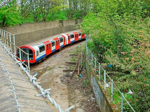
The Central Line at Ariel Way bridge, approximately where the roundabout was. The Caxton Road – Ariel Way section was built over in 2006 prior to construction of the Westfield Centre.
White City depot from Ariel Way in 1986. Part of the old White City can be seen far left.